 vesseltracker.com
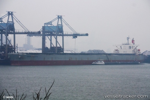
Vessel Erato IMO: 9446075, MMSI: 354097000 Bulk Carrier
UTC, -10.93972, 71.74858, course: 52, speed: 11.4
UTC, -10.73640, 72.04835, course: 53, speed: 11.7
2026-02-01 06:07:22 UTC, -10.41685, 72.46847, course: 53, speed: 11.7
Live AIS position:
UTC. 186 nm S of Diego Garcia),
updated 2026-02-01 06:07:22 UTC.
Find the position of the vessel Erato on the map. The latter are known coordinates and path.
marine traffic ship tracker show on live map
The current position of vessel Erato is -10.41685 lat / 72.46847 lng. Updated: 2026-02-01 06:07:22 UTCCurrently sailing under the flag of Panama
Erato built in 2010 year
Deadweight:
180120 tDetails:
Last coordinates of the vessel:
UTC, -11.17463, 71.43223, course: 53, speed: 11.8UTC, -10.93972, 71.74858, course: 52, speed: 11.4
UTC, -10.73640, 72.04835, course: 53, speed: 11.7
2026-02-01 06:07:22 UTC, -10.41685, 72.46847, course: 53, speed: 11.7