 vesseltracker.com
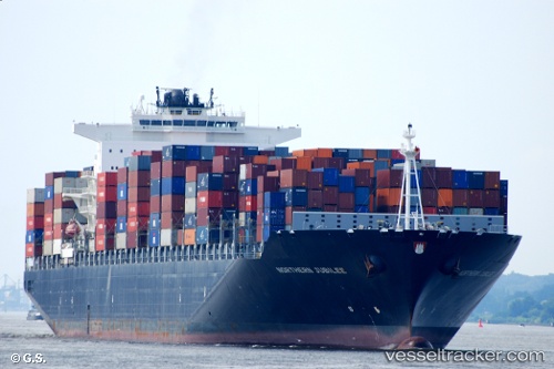
Vessel Northern Jubilee IMO: 9450337, MMSI: 255806038 Container Ship
UTC, 9.49015, -158.75049, course: 201, speed: 92.7
2026-02-11 23:42:11 UTC, 9.49015, -158.75049, course: 201, speed: 92.7
Live AIS position:
UTC. 340 nm N of Fanning Island),
updated 2026-02-11 23:42:11 UTC.
Find the position of the vessel Northern Jubilee on the map. The latter are known coordinates and path.
marine traffic ship tracker show on live map
The current position of vessel Northern Jubilee is 9.49015 lat / -158.75049 lng. Updated: 2026-02-11 23:42:11 UTCDetails:
Last coordinates of the vessel:
UTC, 9.49015, -158.75049, course: 201, speed: 92.7UTC, 9.49015, -158.75049, course: 201, speed: 92.7
2026-02-11 23:42:11 UTC, 9.49015, -158.75049, course: 201, speed: 92.7