 vesseltracker.com
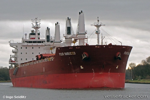
Vessel MERRY M IMO: 9450650, MMSI: 314001040 Bulk Carrier
UTC, 27.08460, 49.75782, course: 207, speed: 8
UTC, 27.02537, 49.68873, course: 44, speed: 0
2026-02-28 08:30:52 UTC, 27.02540, 49.68870, course: 44, speed: 0
Live AIS position:
UTC. Near Al Jubayl),
updated 2026-02-28 08:30:52 UTC.
Find the position of the vessel MERRY M on the map. The latter are known coordinates and path.
marine traffic ship tracker show on live map
The current position of vessel MERRY M is 27.02540 lat / 49.68870 lng. Updated: 2026-02-28 08:30:52 UTCCurrently sailing under the flag of Barbados
Details:
Last coordinates of the vessel:
UTC, 27.16946, 49.78806, course: 265, speed: 0.1UTC, 27.08460, 49.75782, course: 207, speed: 8
UTC, 27.02537, 49.68873, course: 44, speed: 0
2026-02-28 08:30:52 UTC, 27.02540, 49.68870, course: 44, speed: 0