 vesseltracker.com
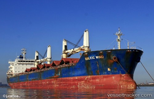
Vessel DENIZ M IMO: 9450703, MMSI: 352067000 Bulk Carrier
UTC, 10.51833, -68.02667, course: -1, speed: 0
UTC, 10.51877, -68.02845, course: 148, speed: 0.1
2026-02-08 12:17:43 UTC, 10.51500, -68.02833, course: -1, speed: 0
Live AIS position:
UTC. Near Puerto Cabello),
updated 2026-02-08 12:17:43 UTC.
Find the position of the vessel DENIZ M on the map. The latter are known coordinates and path.
marine traffic ship tracker show on live map
The current position of vessel DENIZ M is 10.51500 lat / -68.02833 lng. Updated: 2026-02-08 12:17:43 UTCCurrently sailing under the flag of Panama
DENIZ M built in 2009 year
Deadweight:
34409 tDetails:
Last coordinates of the vessel:
UTC, 10.51884, -68.02833, course: 151, speed: 0.1UTC, 10.51833, -68.02667, course: -1, speed: 0
UTC, 10.51877, -68.02845, course: 148, speed: 0.1
2026-02-08 12:17:43 UTC, 10.51500, -68.02833, course: -1, speed: 0