 vesseltracker.com
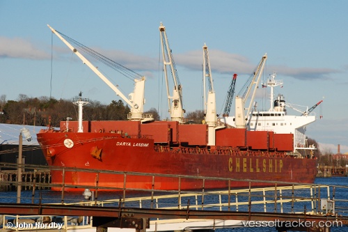
Vessel BERMONDI IMO: 9454199, MMSI: 636021203 Bulk Carrier
UTC, 16.00702, -168.07535, course: 259, speed: 11.5
UTC, 15.92899, -168.42197, course: 258, speed: 11.3
2026-02-03 19:55:38 UTC, 15.89167, -168.79500, course: -1, speed: 11
Live AIS position:
UTC. 65 nm SE of Johnston Island),
updated 2026-02-03 19:55:38 UTC.
Find the position of the vessel BERMONDI on the map. The latter are known coordinates and path.
marine traffic ship tracker show on live map
The current position of vessel BERMONDI is 15.89167 lat / -168.79500 lng. Updated: 2026-02-03 19:55:38 UTCCurrently sailing under the flag of Liberia
BERMONDI built in 2009 year
Deadweight:
55469 tDetails:
Last coordinates of the vessel:
UTC, 16.09090, -167.68135, course: 259, speed: 11.1UTC, 16.00702, -168.07535, course: 259, speed: 11.5
UTC, 15.92899, -168.42197, course: 258, speed: 11.3
2026-02-03 19:55:38 UTC, 15.89167, -168.79500, course: -1, speed: 11