 vesseltracker.com
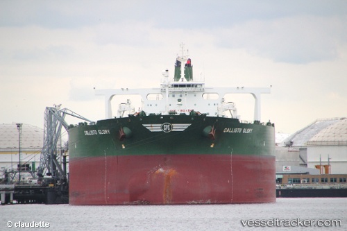
Vessel PRINCESS NATALIE IMO: 9457452, MMSI: 210390000 Crude Oil Tanker
UTC, 2.01352, 102.17835, course: 313, speed: 9.6
UTC, 2.23795, 101.92088, course: 313, speed: 7.9
2026-02-08 15:36:51 UTC, 2.37127, 101.76527, course: 309, speed: 7.9
Live AIS position:
UTC. Near PORT DICKSON),
updated 2026-02-08 15:36:51 UTC.
Find the position of the vessel PRINCESS NATALIE on the map. The latter are known coordinates and path.
marine traffic ship tracker show on live map
The current position of vessel PRINCESS NATALIE is 2.37127 lat / 101.76527 lng. Updated: 2026-02-08 15:36:51 UTCCurrently sailing under the flag of Cyprus
PRINCESS NATALIE built in 2011 year
Deadweight:
320261 tDetails:
Last coordinates of the vessel:
UTC, 1.84968, 102.48503, course: 292, speed: 10.4UTC, 2.01352, 102.17835, course: 313, speed: 9.6
UTC, 2.23795, 101.92088, course: 313, speed: 7.9
2026-02-08 15:36:51 UTC, 2.37127, 101.76527, course: 309, speed: 7.9