 vesseltracker.com
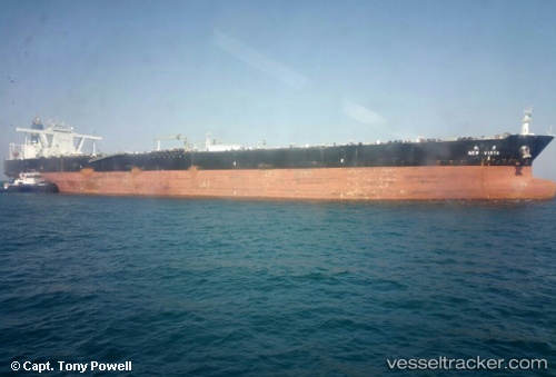
Vessel New Vista IMO: 9458614, MMSI: 636014990 Crude Oil Tanker
UTC, 17.75242, 117.50881, course: 220, speed: 14.8
UTC, 17.50920, 117.29531, course: 220, speed: 14.3
2026-02-15 08:08:01 UTC, 17.05577, 116.90187, course: 221, speed: 14.9
Live AIS position:
UTC. 176 nm W of Bolinao),
updated 2026-02-15 08:08:01 UTC.
Find the position of the vessel New Vista on the map. The latter are known coordinates and path.
marine traffic ship tracker show on live map
The current position of vessel New Vista is 17.05577 lat / 116.90187 lng. Updated: 2026-02-15 08:08:01 UTCDetails:
Last coordinates of the vessel:
UTC, 18.15988, 117.86839, course: 223, speed: 15.1UTC, 17.75242, 117.50881, course: 220, speed: 14.8
UTC, 17.50920, 117.29531, course: 220, speed: 14.3
2026-02-15 08:08:01 UTC, 17.05577, 116.90187, course: 221, speed: 14.9