 vesseltracker.com
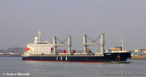
Vessel SAFE COURSE IMO: 9459137, MMSI: 352005620 General Cargo
UTC, 3.12035, 105.32877, course: 204, speed: 12.1
UTC, 2.81477, 105.21424, course: 201, speed: 12.3
2026-02-25 13:28:18 UTC, 2.42773, 105.03597, course: 207, speed: 12.5
Live AIS position:
UTC. 84 nm NE of Kampung Tanjung Langsat),
updated 2026-02-25 13:28:18 UTC.
Find the position of the vessel SAFE COURSE on the map. The latter are known coordinates and path.
marine traffic ship tracker show on live map
The current position of vessel SAFE COURSE is 2.42773 lat / 105.03597 lng. Updated: 2026-02-25 13:28:18 UTCCurrently sailing under the flag of Panama
Details:
Last coordinates of the vessel:
UTC, 3.55908, 105.57911, course: 210, speed: 11.8UTC, 3.12035, 105.32877, course: 204, speed: 12.1
UTC, 2.81477, 105.21424, course: 201, speed: 12.3
2026-02-25 13:28:18 UTC, 2.42773, 105.03597, course: 207, speed: 12.5