 vesseltracker.com
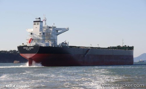
Vessel MINH PROVIDENCE IMO: 9460643, MMSI: 538010825 Bulk Carrier
UTC, -34.18456, 18.00161, course: 298, speed: 9.2
UTC, -33.88032, 17.56424, course: 294, speed: 10
2026-03-01 05:51:24 UTC, -33.77403, 17.31725, course: 283, speed: 9.7
Live AIS position:
UTC. 50 nm SW of Saldanha Bay),
updated 2026-03-01 05:51:24 UTC.
Find the position of the vessel MINH PROVIDENCE on the map. The latter are known coordinates and path.
marine traffic ship tracker show on live map
The current position of vessel MINH PROVIDENCE is -33.77403 lat / 17.31725 lng. Updated: 2026-03-01 05:51:24 UTCCurrently sailing under the flag of Marshall Islands
Details:
Last coordinates of the vessel:
UTC, -34.32686, 18.18533, course: 298, speed: 9.8UTC, -34.18456, 18.00161, course: 298, speed: 9.2
UTC, -33.88032, 17.56424, course: 294, speed: 10
2026-03-01 05:51:24 UTC, -33.77403, 17.31725, course: 283, speed: 9.7