 vesseltracker.com
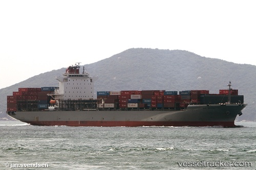
Vessel Bay Bridge IMO: 9463267, MMSI: 354120000 Container Ship
UTC, 32.44333, 122.98333, course: -1, speed: 9
UTC, 32.79333, 122.92833, course: -1, speed: 9
2026-02-06 14:06:12 UTC, 33.13010, 122.88224, course: 353, speed: 10.3
Live AIS position:
UTC. 82 nm NE of Yangkou Pt),
updated 2026-02-06 14:06:12 UTC.
Find the position of the vessel Bay Bridge on the map. The latter are known coordinates and path.
marine traffic ship tracker show on live map
The current position of vessel Bay Bridge is 33.13010 lat / 122.88224 lng. Updated: 2026-02-06 14:06:12 UTCCurrently sailing under the flag of Panama
Details:
Last coordinates of the vessel:
UTC, 32.08333, 123.04333, course: -1, speed: 9UTC, 32.44333, 122.98333, course: -1, speed: 9
UTC, 32.79333, 122.92833, course: -1, speed: 9
2026-02-06 14:06:12 UTC, 33.13010, 122.88224, course: 353, speed: 10.3