 vesseltracker.com
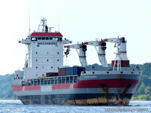
Vessel Alaskaborg IMO: 9466374, MMSI: 245634000 Multi Purpose Carrier
UTC, 7.88163, -85.51290, course: 284, speed: 12.9
UTC, 7.95437, -85.81222, course: 283, speed: 13.1
2026-02-25 04:06:29 UTC, 8.07833, -86.32333, course: -1, speed: 13
Live AIS position:
UTC. 117 nm SW of Cabuya Cobano),
updated 2026-02-25 04:06:29 UTC.
Find the position of the vessel Alaskaborg on the map. The latter are known coordinates and path.
marine traffic ship tracker show on live map
The current position of vessel Alaskaborg is 8.07833 lat / -86.32333 lng. Updated: 2026-02-25 04:06:29 UTCDetails:
Last coordinates of the vessel:
UTC, 7.73500, -84.90833, course: -1, speed: 12UTC, 7.88163, -85.51290, course: 284, speed: 12.9
UTC, 7.95437, -85.81222, course: 283, speed: 13.1
2026-02-25 04:06:29 UTC, 8.07833, -86.32333, course: -1, speed: 13