 vesseltracker.com
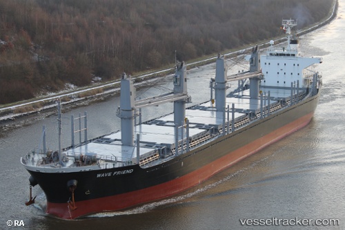
Vessel KHARIS TRINITY IMO: 9470313, MMSI: 441553000 Bulk Carrier
UTC, -33.59195, 128.68539, course: 247, speed: 11.2
UTC, -33.68635, 128.29414, course: 245, speed: 11.6
2026-02-25 19:22:34 UTC, -33.76146, 127.94372, course: 246, speed: 11.4
Live AIS position:
UTC. 199 nm E of Rocky Point),
updated 2026-02-25 19:22:34 UTC.
Find the position of the vessel KHARIS TRINITY on the map. The latter are known coordinates and path.
marine traffic ship tracker show on live map
The current position of vessel KHARIS TRINITY is -33.76146 lat / 127.94372 lng. Updated: 2026-02-25 19:22:34 UTCCurrently sailing under the flag of Korea (Republic of)
KHARIS TRINITY built in 2010 year
Deadweight:
28368 tDetails:
Last coordinates of the vessel:
UTC, -33.50094, 129.07959, course: 245, speed: 10.6UTC, -33.59195, 128.68539, course: 247, speed: 11.2
UTC, -33.68635, 128.29414, course: 245, speed: 11.6
2026-02-25 19:22:34 UTC, -33.76146, 127.94372, course: 246, speed: 11.4