 vesseltracker.com
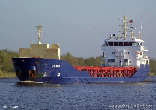
Vessel Borgenfjord IMO: 9470870, MMSI: 258746000 Multi Purpose Carrier
UTC, 61.41503, 4.85346, course: 203, speed: 8.8
UTC, 61.08284, 4.99316, course: 216, speed: 9.7
2026-02-01 11:54:29 UTC, 60.85187, 4.77613, course: 199, speed: 8.9
Live AIS position:
UTC. Near Byrknesøy),
updated 2026-02-01 11:54:29 UTC.
Find the position of the vessel Borgenfjord on the map. The latter are known coordinates and path.
marine traffic ship tracker show on live map
The current position of vessel Borgenfjord is 60.85187 lat / 4.77613 lng. Updated: 2026-02-01 11:54:29 UTCCurrently sailing under the flag of Norway
Borgenfjord built in 2009 year
Deadweight:
3571 tDetails:
Last coordinates of the vessel:
UTC, 61.61747, 4.97802, course: 196, speed: 8.9UTC, 61.41503, 4.85346, course: 203, speed: 8.8
UTC, 61.08284, 4.99316, course: 216, speed: 9.7
2026-02-01 11:54:29 UTC, 60.85187, 4.77613, course: 199, speed: 8.9