 vesseltracker.com
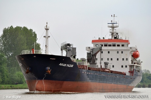
Vessel Flamuri IMO: 9472713, MMSI: 636020514 General Cargo Ship
UTC, 40.70023, 29.45199, course: 173, speed: 0
UTC, 40.70023, 29.45199, course: 173, speed: 0
2026-02-13 14:48:02 UTC, 40.70023, 29.45199, course: 173, speed: 0
Live AIS position:
UTC. Near TOPCULAR),
updated 2026-02-13 14:48:02 UTC.
Find the position of the vessel Flamuri on the map. The latter are known coordinates and path.
marine traffic ship tracker show on live map
The current position of vessel Flamuri is 40.70023 lat / 29.45199 lng. Updated: 2026-02-13 14:48:02 UTCCurrently sailing under the flag of Liberia
Details:
Last coordinates of the vessel:
UTC, 40.70256, 29.44004, course: 105, speed: 3.5UTC, 40.70023, 29.45199, course: 173, speed: 0
UTC, 40.70023, 29.45199, course: 173, speed: 0
2026-02-13 14:48:02 UTC, 40.70023, 29.45199, course: 173, speed: 0