 vesseltracker.com
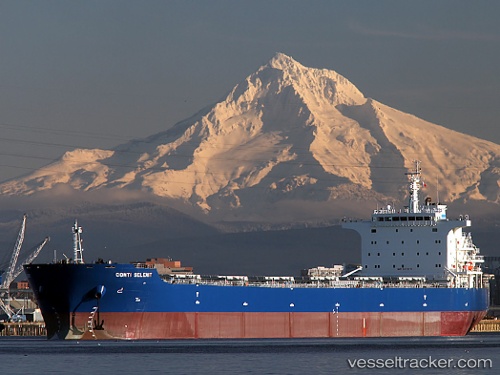
Vessel Cabrillo IMO: 9473315, MMSI: 636018675 Bulk Carrier
UTC, 37.23572, 26.07358, course: 332, speed: 12.5
UTC, 37.57052, 25.86107, course: 340, speed: 13
2026-02-11 03:58:33 UTC, 38.05459, 25.62633, course: 336, speed: 13
Live AIS position:
UTC. 20 nm SW of Mesta Hiou),
updated 2026-02-11 03:58:33 UTC.
Find the position of the vessel Cabrillo on the map. The latter are known coordinates and path.
marine traffic ship tracker show on live map
The current position of vessel Cabrillo is 38.05459 lat / 25.62633 lng. Updated: 2026-02-11 03:58:33 UTCCurrently sailing under the flag of Liberia
Cabrillo built in 2010 year
Deadweight:
75200 tDetails:
Last coordinates of the vessel:
UTC, 36.96497, 26.25060, course: 322, speed: 12.3UTC, 37.23572, 26.07358, course: 332, speed: 12.5
UTC, 37.57052, 25.86107, course: 340, speed: 13
2026-02-11 03:58:33 UTC, 38.05459, 25.62633, course: 336, speed: 13