 vesseltracker.com
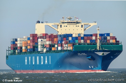
Vessel Maersk Enping IMO: 9475686, MMSI: 241312000 Container Ship
UTC, 16.70833, 110.87833, course: -1, speed: 17
UTC, 16.26833, 110.77500, course: -1, speed: 17
2026-02-21 17:47:53 UTC, 15.67500, 110.63667, course: -1, speed: 17
Live AIS position:
UTC. 105 nm E of Dung Quat Petroleum Port),
updated 2026-02-21 17:47:53 UTC.
Find the position of the vessel Maersk Enping on the map. The latter are known coordinates and path.
marine traffic ship tracker show on live map
The current position of vessel Maersk Enping is 15.67500 lat / 110.63667 lng. Updated: 2026-02-21 17:47:53 UTCDetails:
Last coordinates of the vessel:
UTC, 17.23514, 111.01750, course: 204, speed: 18.1UTC, 16.70833, 110.87833, course: -1, speed: 17
UTC, 16.26833, 110.77500, course: -1, speed: 17
2026-02-21 17:47:53 UTC, 15.67500, 110.63667, course: -1, speed: 17