 vesseltracker.com
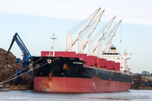
Vessel Ap Astarea IMO: 9475777, MMSI: 538004618 Bulk Carrier
UTC, 25.22208, 54.72883, course: -1, speed: 0
UTC, 25.22255, 54.72894, course: 116, speed: 0
2026-02-15 10:09:41 UTC, 25.22383, 54.73016, course: 173, speed: 0.1
Live AIS position:
UTC. 20 nm NW of Jebel Ali),
updated 2026-02-15 10:09:41 UTC.
Find the position of the vessel Ap Astarea on the map. The latter are known coordinates and path.
marine traffic ship tracker show on live map
The current position of vessel Ap Astarea is 25.22383 lat / 54.73016 lng. Updated: 2026-02-15 10:09:41 UTCDetails:
Last coordinates of the vessel:
UTC, 25.22202, 54.72864, course: 90, speed: 0UTC, 25.22208, 54.72883, course: -1, speed: 0
UTC, 25.22255, 54.72894, course: 116, speed: 0
2026-02-15 10:09:41 UTC, 25.22383, 54.73016, course: 173, speed: 0.1