 vesseltracker.com
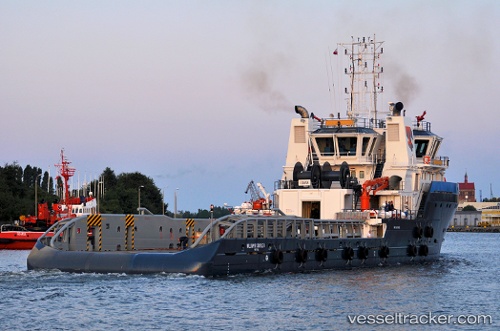
Vessel William R.croyle Ii IMO: 9476862, MMSI: 576058000 Offshore Tug Supply Ship
UTC, 28.27394, 49.73542, course: 175, speed: 7.9
UTC, 27.87918, 49.82555, course: 128, speed: 8.7
2026-02-17 20:22:07 UTC, 27.70365, 50.01666, course: 30, speed: 1.3
Live AIS position:
UTC. 40 nm NE of AL JUBAIL),
updated 2026-02-17 20:22:07 UTC.
Find the position of the vessel William R.croyle Ii on the map. The latter are known coordinates and path.
marine traffic ship tracker show on live map
The current position of vessel William R.croyle Ii is 27.70365 lat / 50.01666 lng. Updated: 2026-02-17 20:22:07 UTCDetails:
Last coordinates of the vessel:
UTC, 28.37451, 49.63060, course: 343, speed: 0.4UTC, 28.27394, 49.73542, course: 175, speed: 7.9
UTC, 27.87918, 49.82555, course: 128, speed: 8.7
2026-02-17 20:22:07 UTC, 27.70365, 50.01666, course: 30, speed: 1.3