 vesseltracker.com
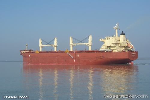
Vessel 'KEY OHANA' IMO: 9478585, MMSI: 538008596
UTC, 33.60687, 130.39198, course: 153, speed: 0
UTC, 33.60688, 130.39192, course: 153, speed: 0
2026-02-20 05:22:32 UTC, 33.60692, 130.39195, course: 153, speed: 0
Live AIS position:
UTC. Near Hakata),
updated 2026-02-20 05:22:32 UTC.
Find the position of the vessel 'KEY OHANA' on the map. The latter are known coordinates and path.
marine traffic ship tracker show on live map
The current position of vessel 'KEY OHANA' is 33.60692 lat / 130.39195 lng. Updated: 2026-02-20 05:22:32 UTCDetails:
Last coordinates of the vessel:
UTC, 33.60687, 130.39195, course: 154, speed: 0UTC, 33.60687, 130.39198, course: 153, speed: 0
UTC, 33.60688, 130.39192, course: 153, speed: 0
2026-02-20 05:22:32 UTC, 33.60692, 130.39195, course: 153, speed: 0