 vesseltracker.com
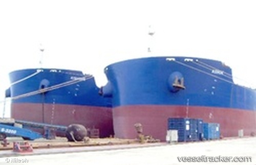
Vessel GCL GANGA IMO: 9481697, MMSI: 563136200 Bulk Carrier
UTC, 26.38150, 56.16929, course: 56, speed: 12.3
UTC, 26.55064, 56.45497, course: 56, speed: 10.4
2026-01-29 13:37:08 UTC, 26.41733, 56.64385, course: 143, speed: 10.1
Live AIS position:
UTC. 12 nm SE of Quoin Island),
updated 2026-01-29 13:37:08 UTC.
Find the position of the vessel GCL GANGA on the map. The latter are known coordinates and path.
marine traffic ship tracker show on live map
The current position of vessel GCL GANGA is 26.41733 lat / 56.64385 lng. Updated: 2026-01-29 13:37:08 UTCCurrently sailing under the flag of Singapore
GCL GANGA built in 2012 year
Deadweight:
106432 tDetails:
Last coordinates of the vessel:
UTC, 26.09838, 56.02769, course: 351, speed: 4.4UTC, 26.38150, 56.16929, course: 56, speed: 12.3
UTC, 26.55064, 56.45497, course: 56, speed: 10.4
2026-01-29 13:37:08 UTC, 26.41733, 56.64385, course: 143, speed: 10.1