 vesseltracker.com
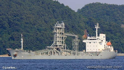
Vessel Morning Sky IMO: 9483566, MMSI: 441470000 Cement Carrier
UTC, 35.20470, 129.42902, course: 245, speed: 10.6
UTC, 34.94265, 129.11285, course: 228, speed: 10.9
2026-02-01 13:58:35 UTC, 34.72167, 128.73833, course: -1, speed: 9
Live AIS position:
UTC. Near Okpo/Geoje),
updated 2026-02-01 13:58:35 UTC.
Find the position of the vessel Morning Sky on the map. The latter are known coordinates and path.
marine traffic ship tracker show on live map
The current position of vessel Morning Sky is 34.72167 lat / 128.73833 lng. Updated: 2026-02-01 13:58:35 UTCCurrently sailing under the flag of Korea
Morning Sky built in 2008 year
Deadweight:
10861 tDetails:
Last coordinates of the vessel:
UTC, 35.36291, 129.60143, course: 185, speed: 11.3UTC, 35.20470, 129.42902, course: 245, speed: 10.6
UTC, 34.94265, 129.11285, course: 228, speed: 10.9
2026-02-01 13:58:35 UTC, 34.72167, 128.73833, course: -1, speed: 9