 vesseltracker.com
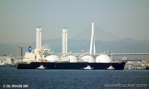
Vessel Energy Horizon IMO: 9483877, MMSI: 432807000 Lng Tanker
UTC, 24.71344, 135.86955, course: 232, speed: 1.2
UTC, 24.68333, 135.89667, course: -1, speed: 1
2026-02-18 08:10:07 UTC, 24.64833, 135.92332, course: -1, speed: 1
Live AIS position:
UTC. 263 nm E of Kitadaito Apt),
updated 2026-02-18 08:10:07 UTC.
Find the position of the vessel Energy Horizon on the map. The latter are known coordinates and path.
marine traffic ship tracker show on live map
The current position of vessel Energy Horizon is 24.64833 lat / 135.92332 lng. Updated: 2026-02-18 08:10:07 UTCDetails:
Last coordinates of the vessel:
UTC, 24.73333, 135.85333, course: -1, speed: 0UTC, 24.71344, 135.86955, course: 232, speed: 1.2
UTC, 24.68333, 135.89667, course: -1, speed: 1
2026-02-18 08:10:07 UTC, 24.64833, 135.92332, course: -1, speed: 1