 vesseltracker.com
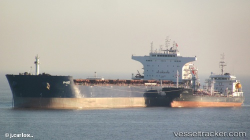
Vessel W ace IMO: 9484687, MMSI: 636014571 Bulk Carrier
UTC, -29.89333, 75.19634, course: 53, speed: 7.8
UTC, -29.66833, 75.57000, course: -1, speed: 9
2026-02-16 06:34:54 UTC, -29.50600, 75.84668, course: 57, speed: 7.8
Live AIS position:
UTC. Open sea, approx. 456 nm off the nearest listed port),
updated 2026-02-16 06:34:54 UTC.
Find the position of the vessel W ace on the map. The latter are known coordinates and path.
marine traffic ship tracker show on live map
The current position of vessel W ace is -29.50600 lat / 75.84668 lng. Updated: 2026-02-16 06:34:54 UTCDetails:
Last coordinates of the vessel:
UTC, -30.00832, 74.99414, course: 57, speed: 7.7UTC, -29.89333, 75.19634, course: 53, speed: 7.8
UTC, -29.66833, 75.57000, course: -1, speed: 9
2026-02-16 06:34:54 UTC, -29.50600, 75.84668, course: 57, speed: 7.8