 vesseltracker.com
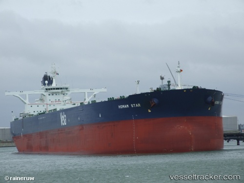
Vessel Farhah IMO: 9484742, MMSI: 403537000 Crude Oil Tanker
UTC, 13.83766, 114.04013, course: 43, speed: 11.7
UTC, 14.18930, 114.34717, course: 40, speed: 11.7
2026-02-14 07:33:04 UTC, 14.39004, 114.52196, course: 40, speed: 11.8
Live AIS position:
UTC. 276 nm E of Tan Cang Qui Nhon),
updated 2026-02-14 07:33:04 UTC.
Find the position of the vessel Farhah on the map. The latter are known coordinates and path.
marine traffic ship tracker show on live map
The current position of vessel Farhah is 14.39004 lat / 114.52196 lng. Updated: 2026-02-14 07:33:04 UTCDetails:
Last coordinates of the vessel:
UTC, 13.58709, 113.81730, course: 35, speed: 11.6UTC, 13.83766, 114.04013, course: 43, speed: 11.7
UTC, 14.18930, 114.34717, course: 40, speed: 11.7
2026-02-14 07:33:04 UTC, 14.39004, 114.52196, course: 40, speed: 11.8