 vesseltracker.com
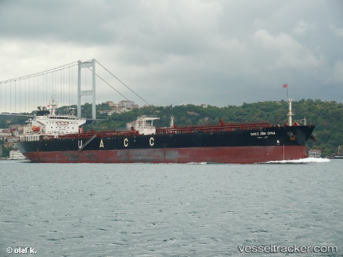
Vessel UOG IOANNIS V IMO: 9485629, MMSI: 538009860 Crude Oil Tanker
UTC, 10.65708, -55.41281, course: 299, speed: 10.4
UTC, 10.82500, -55.74500, course: -1, speed: 10
2026-02-12 13:46:17 UTC, 10.95796, -55.98659, course: 293, speed: 10.6
Live AIS position:
UTC. 240 nm SE of Sam Lords Castle),
updated 2026-02-12 13:46:17 UTC.
Find the position of the vessel UOG IOANNIS V on the map. The latter are known coordinates and path.
marine traffic ship tracker show on live map
The current position of vessel UOG IOANNIS V is 10.95796 lat / -55.98659 lng. Updated: 2026-02-12 13:46:17 UTCCurrently sailing under the flag of Marshall Islands
UOG IOANNIS V built in 2008 year
Deadweight:
73338 tDetails:
Last coordinates of the vessel:
UTC, 10.48459, -55.05857, course: 298, speed: 10.3UTC, 10.65708, -55.41281, course: 299, speed: 10.4
UTC, 10.82500, -55.74500, course: -1, speed: 10
2026-02-12 13:46:17 UTC, 10.95796, -55.98659, course: 293, speed: 10.6