 vesseltracker.com
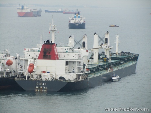
Vessel 'GISCOURS' IMO: 9487237, MMSI: 538008723
UTC, -2.84196, 116.49641, course: 57, speed: 0
UTC, -2.84196, 116.49641, course: 57, speed: 0
2026-01-18 09:37:52 UTC, -2.84196, 116.49641, course: 57, speed: 0
Live AIS position:
UTC. 26 nm NE of TANJUNG PEMANCINGAN),
updated 2026-01-18 09:37:52 UTC.
Find the position of the vessel 'GISCOURS' on the map. The latter are known coordinates and path.
marine traffic ship tracker show on live map
The current position of vessel 'GISCOURS' is -2.84196 lat / 116.49641 lng. Updated: 2026-01-18 09:37:52 UTCDetails:
Last coordinates of the vessel:
UTC, -2.84196, 116.49641, course: 57, speed: 0UTC, -2.84196, 116.49641, course: 57, speed: 0
UTC, -2.84196, 116.49641, course: 57, speed: 0
2026-01-18 09:37:52 UTC, -2.84196, 116.49641, course: 57, speed: 0