 vesseltracker.com
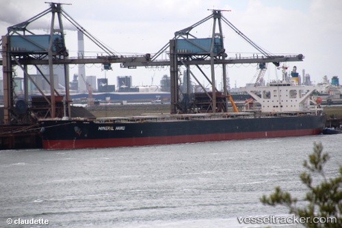
Vessel HONORSHIP IMO: 9489845, MMSI: 538010071 Bulk Carrier
UTC, 15.78511, -158.82756, course: 287, speed: 11.3
UTC, 15.88072, -159.14468, course: 284, speed: 11.3
2026-02-07 05:47:41 UTC, 15.99622, -159.56075, course: 284, speed: 11.2
Live AIS position:
UTC. 296 nm SW of Captain Cook),
updated 2026-02-07 05:47:41 UTC.
Find the position of the vessel HONORSHIP on the map. The latter are known coordinates and path.
marine traffic ship tracker show on live map
The current position of vessel HONORSHIP is 15.99622 lat / -159.56075 lng. Updated: 2026-02-07 05:47:41 UTCCurrently sailing under the flag of Marshall Islands
HONORSHIP built in 2010 year
Deadweight:
180242 tDetails:
Last coordinates of the vessel:
UTC, 15.64284, -158.38226, course: 288, speed: 10.9UTC, 15.78511, -158.82756, course: 287, speed: 11.3
UTC, 15.88072, -159.14468, course: 284, speed: 11.3
2026-02-07 05:47:41 UTC, 15.99622, -159.56075, course: 284, speed: 11.2