 vesseltracker.com
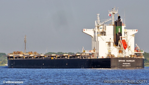
Vessel 636020538 IMO: 9490117, MMSI: 636020538
UTC, 20.97120, 107.05743, course: 313, speed: 0
UTC, 20.97117, 107.05745, course: 314, speed: 0
2026-02-04 16:23:26 UTC, 20.97124, 107.05741, course: 314, speed: 0.1
Live AIS position:
UTC. Near HON GAI),
updated 2026-02-04 16:23:26 UTC.
Find the position of the vessel 636020538 on the map. The latter are known coordinates and path.
marine traffic ship tracker show on live map
The current position of vessel 636020538 is 20.97124 lat / 107.05741 lng. Updated: 2026-02-04 16:23:26 UTCDetails:
Last coordinates of the vessel:
UTC, 20.97124, 107.05738, course: 313, speed: 0UTC, 20.97120, 107.05743, course: 313, speed: 0
UTC, 20.97117, 107.05745, course: 314, speed: 0
2026-02-04 16:23:26 UTC, 20.97124, 107.05741, course: 314, speed: 0.1