 vesseltracker.com
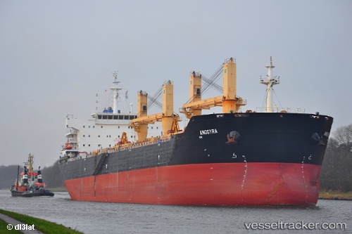
Vessel ANDREAS K IMO: 9491226, MMSI: 636019640 Bulk Carrier
UTC, 29.77200, 122.06908, course: 129, speed: 0
UTC, 29.77194, 122.06912, course: 129, speed: 0
2026-02-27 05:41:16 UTC, 29.77207, 122.06907, course: 129, speed: 0
Live AIS position:
UTC. Near Daxie Pt),
updated 2026-02-27 05:41:16 UTC.
Find the position of the vessel ANDREAS K on the map. The latter are known coordinates and path.
marine traffic ship tracker show on live map
The current position of vessel ANDREAS K is 29.77207 lat / 122.06907 lng. Updated: 2026-02-27 05:41:16 UTCCurrently sailing under the flag of Liberia
ANDREAS K built in 2011 year
Deadweight:
56729 tDetails:
Last coordinates of the vessel:
UTC, 29.77201, 122.06913, course: 129, speed: 0UTC, 29.77200, 122.06908, course: 129, speed: 0
UTC, 29.77194, 122.06912, course: 129, speed: 0
2026-02-27 05:41:16 UTC, 29.77207, 122.06907, course: 129, speed: 0