 vesseltracker.com
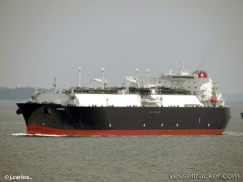
Vessel Cubal IMO: 9491812, MMSI: 311038400 Lng Tanker
UTC, 2.37833, 56.79667, course: -1, speed: 17
UTC, 1.83500, 56.37500, course: -1, speed: 17
2026-01-31 13:26:33 UTC, 1.54333, 56.14833, course: -1, speed: 17
Live AIS position:
UTC. 352 nm N of Anse Kerlan),
updated 2026-01-31 13:26:33 UTC.
Find the position of the vessel Cubal on the map. The latter are known coordinates and path.
marine traffic ship tracker show on live map
The current position of vessel Cubal is 1.54333 lat / 56.14833 lng. Updated: 2026-01-31 13:26:33 UTCCurrently sailing under the flag of Bahamas
Cubal built in 2012 year
Deadweight:
82834 tDetails:
Last coordinates of the vessel:
UTC, 2.77333, 57.10833, course: -1, speed: 17UTC, 2.37833, 56.79667, course: -1, speed: 17
UTC, 1.83500, 56.37500, course: -1, speed: 17
2026-01-31 13:26:33 UTC, 1.54333, 56.14833, course: -1, speed: 17