 vesseltracker.com
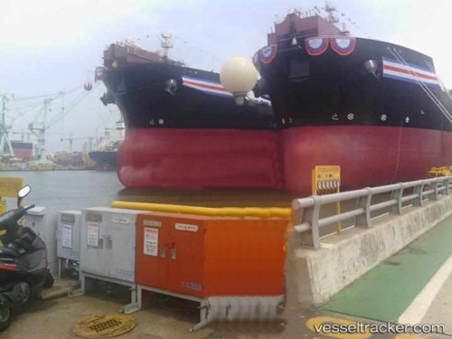
Vessel Angra Dos Reis IMO: 9492000, MMSI: 311065300 Crude Oil Tanker
UTC, -22.22847, -39.42438, course: 212, speed: 12.3
UTC, -22.61080, -39.68341, course: 214, speed: 12.6
2026-02-25 18:16:45 UTC, -23.08890, -40.02771, course: 212, speed: 12.3
Live AIS position:
UTC. 34 nm SE of Fluminense FPSO),
updated 2026-02-25 18:16:45 UTC.
Find the position of the vessel Angra Dos Reis on the map. The latter are known coordinates and path.
marine traffic ship tracker show on live map
The current position of vessel Angra Dos Reis is -23.08890 lat / -40.02771 lng. Updated: 2026-02-25 18:16:45 UTCDetails:
Last coordinates of the vessel:
UTC, -21.94338, -39.41934, course: 147, speed: 12.1UTC, -22.22847, -39.42438, course: 212, speed: 12.3
UTC, -22.61080, -39.68341, course: 214, speed: 12.6
2026-02-25 18:16:45 UTC, -23.08890, -40.02771, course: 212, speed: 12.3