 vesseltracker.com
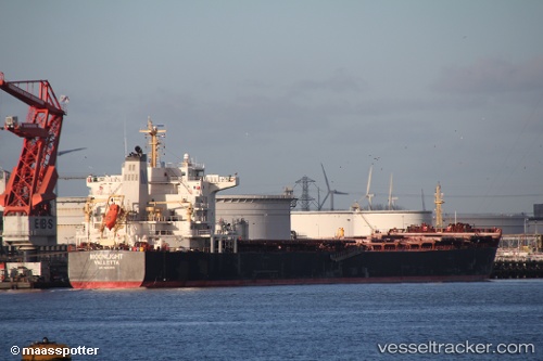
Vessel MAROULIO S IMO: 9493511, MMSI: 636019773 Bulk Carrier
UTC, 38.26159, 0.19405, course: 215, speed: 11.7
UTC, 37.95575, -0.07743, course: 215, speed: 12.4
2026-02-25 15:32:47 UTC, 37.67146, -0.33161, course: 215, speed: 12.8
Live AIS position:
UTC. 17 nm E of Cabo de Palos),
updated 2026-02-25 15:32:47 UTC.
Find the position of the vessel MAROULIO S on the map. The latter are known coordinates and path.
marine traffic ship tracker show on live map
The current position of vessel MAROULIO S is 37.67146 lat / -0.33161 lng. Updated: 2026-02-25 15:32:47 UTCCurrently sailing under the flag of Liberia
MAROULIO S built in 2010 year
Deadweight:
75700 tDetails:
Last coordinates of the vessel:
UTC, 38.58574, 0.48586, course: 218, speed: 12.2UTC, 38.26159, 0.19405, course: 215, speed: 11.7
UTC, 37.95575, -0.07743, course: 215, speed: 12.4
2026-02-25 15:32:47 UTC, 37.67146, -0.33161, course: 215, speed: 12.8