 vesseltracker.com
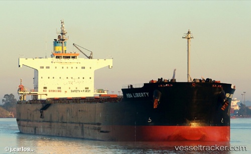
Vessel VOSPOROS IMO: 9494101, MMSI: 311001557 Bulk Carrier
UTC, 51.85636, -146.60880, course: 107, speed: 12.6
UTC, 51.74333, -146.10167, course: -1, speed: 12
2026-03-04 16:05:02 UTC, 51.71471, -145.96378, course: 110, speed: 12.3
Live Vessel VOSPOROS Analytics (details, animations, etc.)
Live AIS position: UTC. 127 nm SE of Kings Bromley), updated 2026-03-04 16:05:02 UTC.Find the position of the vessel VOSPOROS on the map. The latter are known coordinates and path.
marine traffic ship tracker show on live map
The current position of vessel VOSPOROS is 51.71471 lat / -145.96378 lng. Updated: 2026-03-04 16:05:02 UTCCurrently sailing under the flag of Bahamas
Details:
Last coordinates of the vessel:
UTC, 51.95696, -147.09624, course: 107, speed: 12.6UTC, 51.85636, -146.60880, course: 107, speed: 12.6
UTC, 51.74333, -146.10167, course: -1, speed: 12
2026-03-04 16:05:02 UTC, 51.71471, -145.96378, course: 110, speed: 12.3