 vesseltracker.com
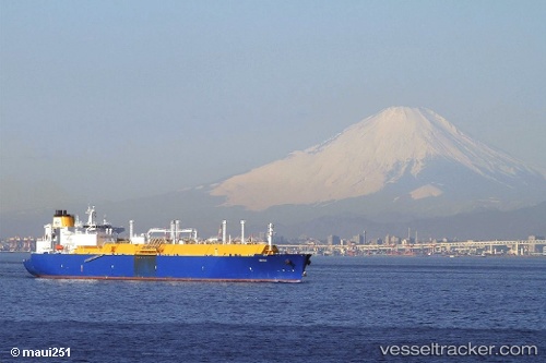
Vessel Amali IMO: 9496317, MMSI: 508111132 Lng Tanker
UTC, 26.65109, 130.31001, course: 220, speed: 18.7
UTC, 26.22485, 129.88411, course: 225, speed: 18.4
2026-02-09 05:37:38 UTC, 25.82877, 129.42538, course: 226, speed: 21.1
Live AIS position:
UTC. 71 nm NE of Uiryeong-gun),
updated 2026-02-09 05:37:38 UTC.
Find the position of the vessel Amali on the map. The latter are known coordinates and path.
marine traffic ship tracker show on live map
The current position of vessel Amali is 25.82877 lat / 129.42538 lng. Updated: 2026-02-09 05:37:38 UTCDetails:
Last coordinates of the vessel:
UTC, 27.06503, 130.68784, course: 241, speed: 17.5UTC, 26.65109, 130.31001, course: 220, speed: 18.7
UTC, 26.22485, 129.88411, course: 225, speed: 18.4
2026-02-09 05:37:38 UTC, 25.82877, 129.42538, course: 226, speed: 21.1