 vesseltracker.com
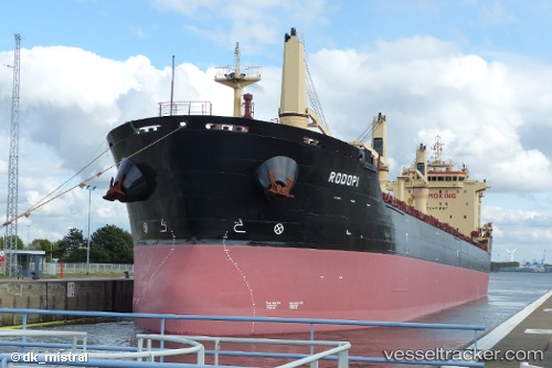
Vessel Rodopi IMO: 9498274, MMSI: 229013000 Bulk Carrier
UTC, 53.62635, -0.18963, course: 217, speed: 0
UTC, 53.62636, -0.18963, course: 217, speed: 0
2026-02-10 01:51:40 UTC, 53.62630, -0.18964, course: 217, speed: 0
Live AIS position:
UTC. Near Immingham),
updated 2026-02-10 01:51:40 UTC.
Find the position of the vessel Rodopi on the map. The latter are known coordinates and path.
marine traffic ship tracker show on live map
The current position of vessel Rodopi is 53.62630 lat / -0.18964 lng. Updated: 2026-02-10 01:51:40 UTCDetails:
Last coordinates of the vessel:
UTC, 53.62633, -0.18965, course: 217, speed: 0UTC, 53.62635, -0.18963, course: 217, speed: 0
UTC, 53.62636, -0.18963, course: 217, speed: 0
2026-02-10 01:51:40 UTC, 53.62630, -0.18964, course: 217, speed: 0