 vesseltracker.com
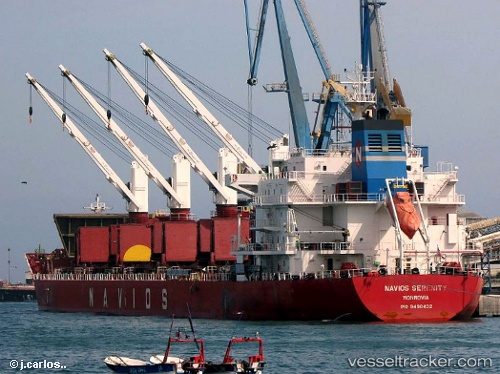
Vessel TINA S IMO: 9498432, MMSI: 636015094 Bulk Carrier
UTC, -23.94937, -46.31166, course: 351, speed: 0
UTC, -23.94943, -46.31165, course: 351, speed: 0
2026-02-12 21:27:04 UTC, -23.94947, -46.31165, course: 351, speed: 0
Live AIS position:
UTC. Near Santos),
updated 2026-02-12 21:27:04 UTC.
Find the position of the vessel TINA S on the map. The latter are known coordinates and path.
marine traffic ship tracker show on live map
The current position of vessel TINA S is -23.94947 lat / -46.31165 lng. Updated: 2026-02-12 21:27:04 UTCCurrently sailing under the flag of Liberia
TINA S built in 2011 year
Deadweight:
34690 tDetails:
Last coordinates of the vessel:
UTC, -23.94936, -46.31168, course: 352, speed: 0UTC, -23.94937, -46.31166, course: 351, speed: 0
UTC, -23.94943, -46.31165, course: 351, speed: 0
2026-02-12 21:27:04 UTC, -23.94947, -46.31165, course: 351, speed: 0