 vesseltracker.com
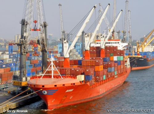
Vessel Banak IMO: 9504607, MMSI: 538005308 Container Ship
UTC, 23.75330, 62.78045, course: 102, speed: 17.4
UTC, 23.66822, 63.33871, course: 100, speed: 16.7
2026-02-11 01:47:56 UTC, 23.55475, 64.06622, course: 98, speed: 17
Live AIS position:
UTC. 176 nm SW of Kiamari),
updated 2026-02-11 01:47:56 UTC.
Find the position of the vessel Banak on the map. The latter are known coordinates and path.
marine traffic ship tracker show on live map
The current position of vessel Banak is 23.55475 lat / 64.06622 lng. Updated: 2026-02-11 01:47:56 UTCCurrently sailing under the flag of Marshall Is
Banak built in 2014 year
Deadweight:
34200 tDetails:
Last coordinates of the vessel:
UTC, 23.82233, 62.40142, course: 106, speed: 17.6UTC, 23.75330, 62.78045, course: 102, speed: 17.4
UTC, 23.66822, 63.33871, course: 100, speed: 16.7
2026-02-11 01:47:56 UTC, 23.55475, 64.06622, course: 98, speed: 17