 vesseltracker.com
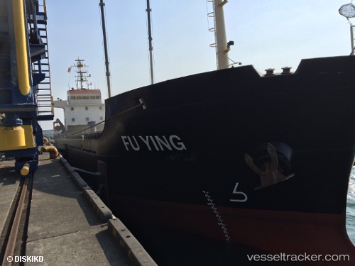
Vessel ST BELLA IMO: 9507441, MMSI: 440056000 General Cargo Ship
UTC, 22.13439, 113.79025, course: 35, speed: 0.1
UTC, 22.13446, 113.79110, course: 5, speed: 0
2026-02-23 11:44:10 UTC, 22.13441, 113.79055, course: 40, speed: 0.2
Live AIS position:
UTC. Near GUISHAN),
updated 2026-02-23 11:44:10 UTC.
Find the position of the vessel ST BELLA on the map. The latter are known coordinates and path.
marine traffic ship tracker show on live map
The current position of vessel ST BELLA is 22.13441 lat / 113.79055 lng. Updated: 2026-02-23 11:44:10 UTCCurrently sailing under the flag of Korea (Republic of)
ST BELLA built in 2008 year
Deadweight:
3701 tDetails:
Last coordinates of the vessel:
UTC, 22.13503, 113.78967, course: 77, speed: 0.1UTC, 22.13439, 113.79025, course: 35, speed: 0.1
UTC, 22.13446, 113.79110, course: 5, speed: 0
2026-02-23 11:44:10 UTC, 22.13441, 113.79055, course: 40, speed: 0.2