.
vessel 636020305 IMO: 9508392, vesseltracker.com
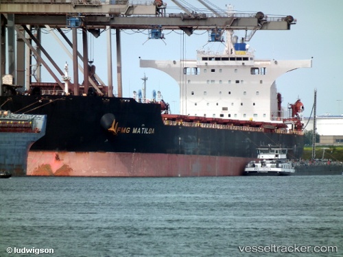
Vessel 636020305 IMO: 9508392, MMSI: 636020305

callsign:
size: x

Live AIS position: UTC. Near BRIELLE), updated 2026-01-25 12:08:22 UTC.

Find the position of the vessel 636020305 on the map. The latter are known coordinates and path.

marine traffic ship tracker show on live map

The current position of vessel 636020305 is 51.91726 lat / 4.17088 lng. Updated: 2026-01-25 12:08:22 UTC
Details:


Last coordinates of the vessel:
UTC, 51.91726, 4.17088, course: 128, speed: 0
2026-01-25 12:08:22 UTC, 51.91726, 4.17088, course: 128, speed: 0


Most frequent ports a vessels calls at 636020305 (636020305):

Yokohama, traffic: 8
Kawasaki, traffic: 6
Yokosuka, traffic: 4
Sambu, traffic: 3
Singapore, traffic: 3
Maputo, traffic: 3
Oita, traffic: 2
Sept Iles, traffic: 2
Port Headland, traffic: 2
Port Hedland, traffic: 1
Ta-Ku, traffic: 1
Taku Bar, traffic: 1
Dagu, traffic: 1
Hong Kong, traffic: 1

Link to the map:


Find another ship

636020305 (636020305) last ports (portcalls and passsages)

Hong Kong | 2024-01-01 00:24:10
Sept Iles | 2022-12-02 23:53:36
Sept Iles | 2022-11-28 23:39:05
Singapore | 2022-08-04 20:01:47
Sambu | 2022-08-04 19:11:24
Ta-Ku | 2022-07-01 13:22:07
Taku Bar | 2022-07-01 10:02:30
Singapore | 2022-06-20 22:12:30
Maputo | 2022-06-01 22:22:50
Maputo | 2022-05-28 22:04:16
Maputo | 2022-05-24 22:03:00
Singapore | 2022-03-29 09:15:29
Yokosuka | 2022-01-10 05:05:07
Yokohama | 2022-01-10 04:55:58
Yokohama | 2022-01-10 04:50:57
Yokohama | 2022-01-10 04:45:57
Kawasaki | 2022-01-10 04:40:47
Yokosuka | 2022-01-06 01:40:55
Oita | 2021-12-28 02:30:03
Port Headland | 2021-12-02 22:54:56