 vesseltracker.com
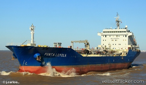
Vessel Punta Loyola IMO: 9508988, MMSI: 701006413 Chemical Oil Products Tanker
UTC, -46.61920, -64.94609, course: 22, speed: 12.4
UTC, -46.32654, -64.75559, course: 26, speed: 12
2026-02-24 10:02:52 UTC, -45.78446, -64.44729, course: 24, speed: 12.9
Live AIS position:
UTC. 110 nm E of Caleta Córdoba),
updated 2026-02-24 10:02:52 UTC.
Find the position of the vessel Punta Loyola on the map. The latter are known coordinates and path.
marine traffic ship tracker show on live map
The current position of vessel Punta Loyola is -45.78446 lat / -64.44729 lng. Updated: 2026-02-24 10:02:52 UTCDetails:
Last coordinates of the vessel:
UTC, -46.91519, -64.98901, course: 356, speed: 11.7UTC, -46.61920, -64.94609, course: 22, speed: 12.4
UTC, -46.32654, -64.75559, course: 26, speed: 12
2026-02-24 10:02:52 UTC, -45.78446, -64.44729, course: 24, speed: 12.9