 vesseltracker.com
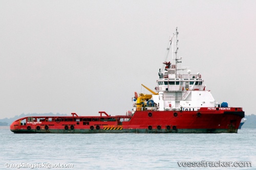
Vessel Perdana Frontier IMO: 9509190, MMSI: 533180054 Offshore Tug Supply Ship
UTC, 7.11167, 103.40833, course: -1, speed: 6
UTC, 7.11667, 103.43167, course: -1, speed: 2
2026-01-27 15:43:08 UTC, 6.85167, 103.20667, course: -1, speed: 6
Live AIS position:
UTC. 17 nm S of Cakerawala Terminal),
updated 2026-01-27 15:43:08 UTC.
Find the position of the vessel Perdana Frontier on the map. The latter are known coordinates and path.
marine traffic ship tracker show on live map
The current position of vessel Perdana Frontier is 6.85167 lat / 103.20667 lng. Updated: 2026-01-27 15:43:08 UTCDetails:
Last coordinates of the vessel:
UTC, 7.11167, 103.40833, course: -1, speed: 6UTC, 7.11167, 103.40833, course: -1, speed: 6
UTC, 7.11667, 103.43167, course: -1, speed: 2
2026-01-27 15:43:08 UTC, 6.85167, 103.20667, course: -1, speed: 6