 vesseltracker.com
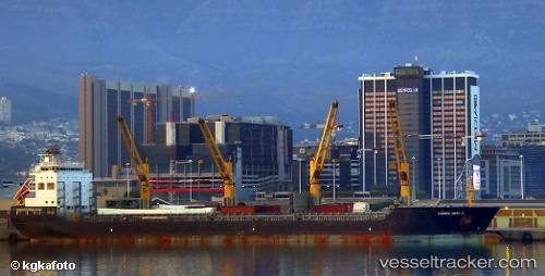
Vessel BRIGHT HORIZON IMO: 9509695, MMSI: 538090686 General Cargo
UTC, 18.84422, -64.35455, course: 307, speed: 13.7
UTC, 19.22067, -64.86749, course: 307, speed: 13.8
2026-02-23 05:25:39 UTC, 19.40115, -65.11385, course: 309, speed: 13.8
Live AIS position:
UTC. 58 nm NW of ANEGADA),
updated 2026-02-23 05:25:39 UTC.
Find the position of the vessel BRIGHT HORIZON on the map. The latter are known coordinates and path.
marine traffic ship tracker show on live map
The current position of vessel BRIGHT HORIZON is 19.40115 lat / -65.11385 lng. Updated: 2026-02-23 05:25:39 UTCCurrently sailing under the flag of Marshall Islands
Details:
Last coordinates of the vessel:
UTC, 18.68167, -64.16378, course: 317, speed: 13.6UTC, 18.84422, -64.35455, course: 307, speed: 13.7
UTC, 19.22067, -64.86749, course: 307, speed: 13.8
2026-02-23 05:25:39 UTC, 19.40115, -65.11385, course: 309, speed: 13.8