 vesseltracker.com
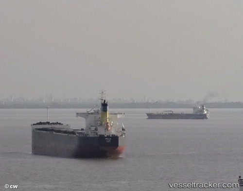
Vessel Pella IMO: 9510321, MMSI: 538004093 Bulk Carrier
UTC, 53.95333, 168.37666, course: -1, speed: 8
UTC, 53.93181, 168.05251, course: 259, speed: 7.8
2026-02-17 08:16:19 UTC, 53.88667, 167.46832, course: -1, speed: 9
Live AIS position:
UTC. 94 nm SE of Nikolskoe),
updated 2026-02-17 08:16:19 UTC.
Find the position of the vessel Pella on the map. The latter are known coordinates and path.
marine traffic ship tracker show on live map
The current position of vessel Pella is 53.88667 lat / 167.46832 lng. Updated: 2026-02-17 08:16:19 UTCDetails:
Last coordinates of the vessel:
UTC, 54.00167, 168.99500, course: -1, speed: 9UTC, 53.95333, 168.37666, course: -1, speed: 8
UTC, 53.93181, 168.05251, course: 259, speed: 7.8
2026-02-17 08:16:19 UTC, 53.88667, 167.46832, course: -1, speed: 9