 vesseltracker.com
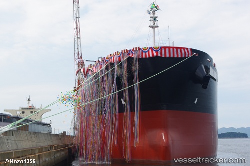
Vessel Forte De Sao Jose IMO: 9512032, MMSI: 710014840 Bulk Carrier
UTC, 1.32223, -49.42659, course: 81, speed: 3.4
UTC, 1.39176, -49.23871, course: 64, speed: 7.2
2026-02-09 17:16:29 UTC, 1.43988, -49.14134, course: 65, speed: 8.1
Live AIS position:
UTC. 112 nm NE of Tucuma),
updated 2026-02-09 17:16:29 UTC.
Find the position of the vessel Forte De Sao Jose on the map. The latter are known coordinates and path.
marine traffic ship tracker show on live map
The current position of vessel Forte De Sao Jose is 1.43988 lat / -49.14134 lng. Updated: 2026-02-09 17:16:29 UTCDetails:
Last coordinates of the vessel:
UTC, 1.28849, -49.46299, course: 143, speed: 2UTC, 1.32223, -49.42659, course: 81, speed: 3.4
UTC, 1.39176, -49.23871, course: 64, speed: 7.2
2026-02-09 17:16:29 UTC, 1.43988, -49.14134, course: 65, speed: 8.1