 vesseltracker.com
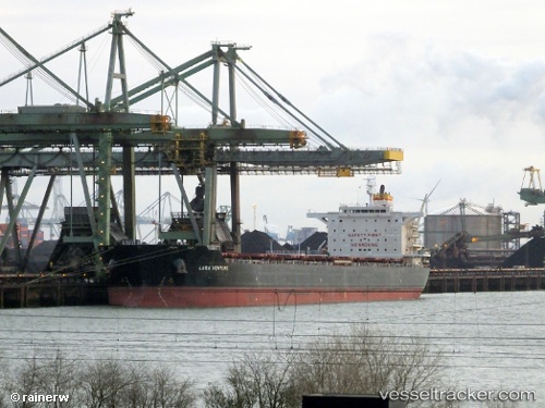
Vessel LC MILADY IMO: 9512575, MMSI: 636022417 Bulk Carrier
UTC, 14.45812, 42.05455, course: 150, speed: 10.6
UTC, 14.01473, 42.30103, course: 152, speed: 10.7
2026-02-24 07:49:56 UTC, 13.78695, 42.43012, course: 155, speed: 11
Live AIS position:
UTC. 42 nm N of Dabo),
updated 2026-02-24 07:49:56 UTC.
Find the position of the vessel LC MILADY on the map. The latter are known coordinates and path.
marine traffic ship tracker show on live map
The current position of vessel LC MILADY is 13.78695 lat / 42.43012 lng. Updated: 2026-02-24 07:49:56 UTCCurrently sailing under the flag of Liberia
Details:
Last coordinates of the vessel:
UTC, 14.78537, 41.88012, course: 154, speed: 10.8UTC, 14.45812, 42.05455, course: 150, speed: 10.6
UTC, 14.01473, 42.30103, course: 152, speed: 10.7
2026-02-24 07:49:56 UTC, 13.78695, 42.43012, course: 155, speed: 11