 vesseltracker.com
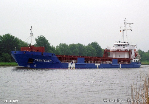
Vessel AMBERLAND IMO: 9518969, MMSI: 255806372 General Cargo Ship
UTC, 57.31751, 24.40446, course: -1, speed: 0
UTC, 57.31753, 24.40448, course: -1, speed: 0
2026-03-01 15:43:16 UTC, 57.31751, 24.40450, course: -1, speed: 0
Live AIS position:
UTC. Near Skulte),
updated 2026-03-01 15:43:16 UTC.
Find the position of the vessel AMBERLAND on the map. The latter are known coordinates and path.
marine traffic ship tracker show on live map
The current position of vessel AMBERLAND is 57.31751 lat / 24.40450 lng. Updated: 2026-03-01 15:43:16 UTCCurrently sailing under the flag of Portugal (MAR)
AMBERLAND built in 2010 year
Deadweight:
5724 tDetails:
Last coordinates of the vessel:
UTC, 57.31492, 24.35413, course: -1, speed: 0UTC, 57.31751, 24.40446, course: -1, speed: 0
UTC, 57.31753, 24.40448, course: -1, speed: 0
2026-03-01 15:43:16 UTC, 57.31751, 24.40450, course: -1, speed: 0