 vesseltracker.com
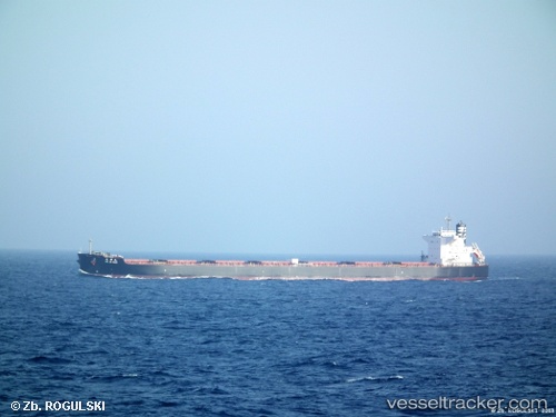
Vessel Anglo Marimar IMO: 9520833, MMSI: 232017938 Bulk Carrier
UTC, -16.05667, 152.98833, course: -1, speed: 11
UTC, -16.34166, 153.03833, course: -1, speed: 11
2026-02-21 17:49:49 UTC, -16.69833, 153.11501, course: -1, speed: 10
Live AIS position:
UTC. 191 nm NE of Coral Sea),
updated 2026-02-21 17:49:49 UTC.
Find the position of the vessel Anglo Marimar on the map. The latter are known coordinates and path.
marine traffic ship tracker show on live map
The current position of vessel Anglo Marimar is -16.69833 lat / 153.11501 lng. Updated: 2026-02-21 17:49:49 UTCCurrently sailing under the flag of United Kingdom
Anglo Marimar built in 2011 year
Deadweight:
98000 tDetails:
Last coordinates of the vessel:
UTC, -15.61186, 152.91238, course: 172, speed: 12.3UTC, -16.05667, 152.98833, course: -1, speed: 11
UTC, -16.34166, 153.03833, course: -1, speed: 11
2026-02-21 17:49:49 UTC, -16.69833, 153.11501, course: -1, speed: 10