 vesseltracker.com
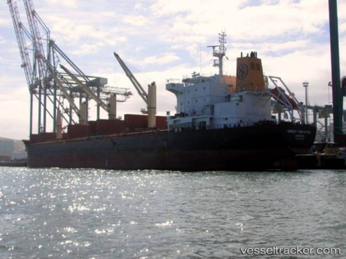
Vessel GABRIELLA IMO: 9522908, MMSI: 538009423 Bulk Carrier
UTC, 23.70580, -83.61583, course: 98, speed: 12.6
UTC, 23.70500, -83.15167, course: -1, speed: 13
2026-02-09 07:15:02 UTC, 23.70132, -82.81382, course: 82, speed: 12.7
Live AIS position:
UTC. 41 nm NW of ALAMEDA DEL SIBONEY),
updated 2026-02-09 07:15:02 UTC.
Find the position of the vessel GABRIELLA on the map. The latter are known coordinates and path.
marine traffic ship tracker show on live map
The current position of vessel GABRIELLA is 23.70132 lat / -82.81382 lng. Updated: 2026-02-09 07:15:02 UTCCurrently sailing under the flag of Marshall Islands
GABRIELLA built in 2013 year
Deadweight:
36887 tDetails:
Last coordinates of the vessel:
UTC, 23.85182, -84.10732, course: 113, speed: 11.5UTC, 23.70580, -83.61583, course: 98, speed: 12.6
UTC, 23.70500, -83.15167, course: -1, speed: 13
2026-02-09 07:15:02 UTC, 23.70132, -82.81382, course: 82, speed: 12.7