 vesseltracker.com
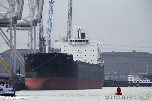
Vessel Lia M IMO: 9525625, MMSI: 210363000 Bulk Carrier
UTC, 1.89676, 89.34184, course: 232, speed: 11.8
UTC, 1.53791, 88.87419, course: 228, speed: 12
2026-02-13 07:57:04 UTC, 1.34325, 88.64462, course: 228, speed: 12.6
Live AIS position:
UTC. 339 nm SE of Abakaliki),
updated 2026-02-13 07:57:04 UTC.
Find the position of the vessel Lia M on the map. The latter are known coordinates and path.
marine traffic ship tracker show on live map
The current position of vessel Lia M is 1.34325 lat / 88.64462 lng. Updated: 2026-02-13 07:57:04 UTCDetails:
Last coordinates of the vessel:
UTC, 2.15056, 89.68043, course: 232, speed: 11.6UTC, 1.89676, 89.34184, course: 232, speed: 11.8
UTC, 1.53791, 88.87419, course: 228, speed: 12
2026-02-13 07:57:04 UTC, 1.34325, 88.64462, course: 228, speed: 12.6