 vesseltracker.com
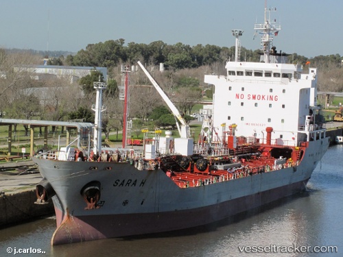
Vessel Sara H IMO: 9530527, MMSI: 371241000 Oil Products Tanker
UTC, 8.85607, -79.52251, course: 54, speed: 0.1
UTC, 8.85580, -79.52238, course: 41, speed: 0
2026-02-22 04:08:41 UTC, 8.82849, -79.57003, course: 49, speed: 0
Live AIS position:
UTC. Near TABOGA),
updated 2026-02-22 04:08:41 UTC.
Find the position of the vessel Sara H on the map. The latter are known coordinates and path.
marine traffic ship tracker show on live map
The current position of vessel Sara H is 8.82849 lat / -79.57003 lng. Updated: 2026-02-22 04:08:41 UTCDetails:
Last coordinates of the vessel:
UTC, 8.85684, -79.52248, course: 68, speed: 0UTC, 8.85607, -79.52251, course: 54, speed: 0.1
UTC, 8.85580, -79.52238, course: 41, speed: 0
2026-02-22 04:08:41 UTC, 8.82849, -79.57003, course: 49, speed: 0